Behind the scenes · · 2 min read
See Malta from above: drone height in Malta Living
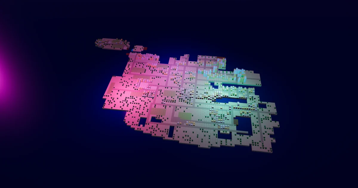
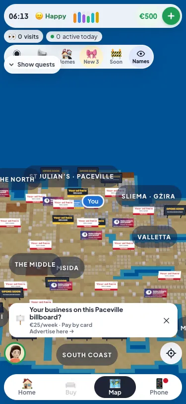
The bigger map made the island much larger, and on a phone held upright you could only see a slice of it. Now you can see the Malta map from above. Keep pinching out past where the map used to stop and you rise to drone height.
What you see up there
At drone height a phone shows about half the island across at once. Before, it showed about a fifth. Every town is there as plain blocks, the coast and the roads are easy to follow, and each area's name floats over it: Valletta, Sliema, St Julian's, the Middle, the South coast and the rest.
Billboards stay readable
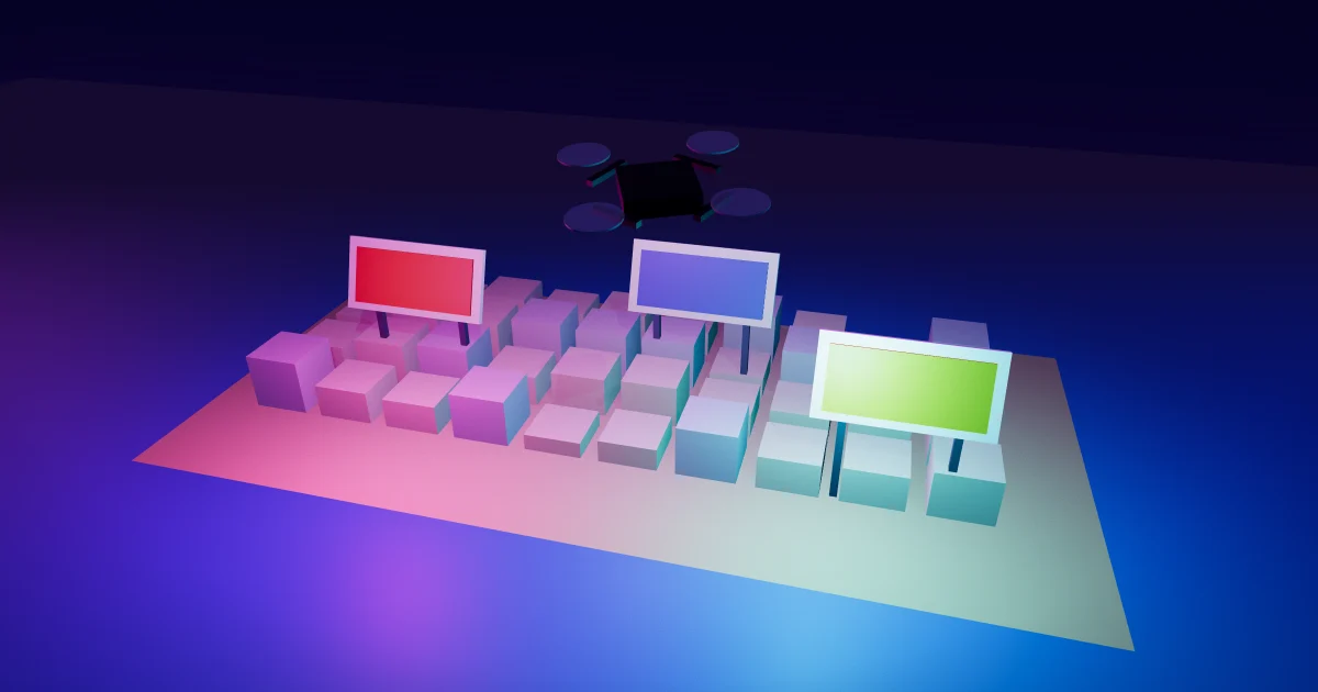
Billboards are one of the most important parts of the map. Businesses and players book them to be seen. So at drone height every billboard is still drawn, and it grows as you rise, up to three times its size, so the ad on it stays readable. A board you see clearly for a moment counts as a view for its advertiser, the same as it does close up. If you run an ad, your board now gets seen from much further away.
Tap to fly in
Up there, tap an area's name, a building or a billboard and the camera flies straight in, landing a little closer than the normal view. It's the quickest way to get from one end of the island to the other on the map, or to check out the places coming soon on the new coasts. Pinch out again whenever you want the big picture back; the map remembers nothing special, it's just the same map seen from higher up.
Why it doesn't slow your phone down
Drawing the whole island in full detail would make any phone struggle. So at drone height the map draws a lighter version: one plain block for each building, no road pieces, no people, cars, trees or shadows. Only the billboards keep their real pictures. On our test phone, slowed down four times, the map at drone height draws 36 pieces and stays at 60 frames a second. The normal view in a busy area draws up to 250.
Questions people ask
How do I get to drone height?
On the map, pinch out with two fingers and keep going past where it used to stop. Pinch in, or tap something, to come back down.
Where did the place names go?
At drone height the map shows area names instead of every place's name, to keep it clear and quick. Fly in and the place names come back. New places are in Just opened, and Get around lists every place.
Does it work on a computer too?
A wide screen already showed most of the island, so it zooms out as far as before. Drone height is for phones held upright.
Malta's real landscape is easiest to take in from the air. The Maltese archipelago is small, but dense. Play Malta Living free and take a look from above. New here? Start with what Malta Living is.