Behind the scenes · · 4 min read
Malta's real sunset, three seas and the seasons on the map
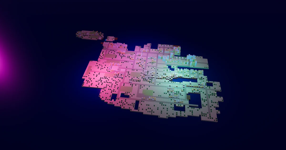
Look out of the window at five in the evening in November, then at the map in Malta Living: until today one was dark and the other was sunny. Not any more. The map now follows Malta sunrise and sunset in a game that runs on Malta's own clock, by date, all year. This post says what changed, why, and what comes next.
New to the game? Start with what Malta Living is, or play Malta Living free.
The sun keeps Malta's hours
The game has always run on real Malta time: the clock in the top bar is the clock on your wall. The map's light didn't. It had one summer day, all year: full sun from 07:30 to 18:30, dusk until 20:30, dawn from 05:30.
Malta's days are not like that. On the shortest day, around 22 December, the sun rises at about 07:08 and sets at about 16:52. On the longest, 21 June, it is up at 05:45 and down at 20:21. The earliest sunset of the year comes in early December, a few days before the shortest day.
Now the map follows that, day by day. In November the sky turns orange and then dark before 17:00; in June it stays light for the evening walk along the front until after 20:00. Dusk and dawn are short, as they are this far south: about an hour and a half from full day to night. 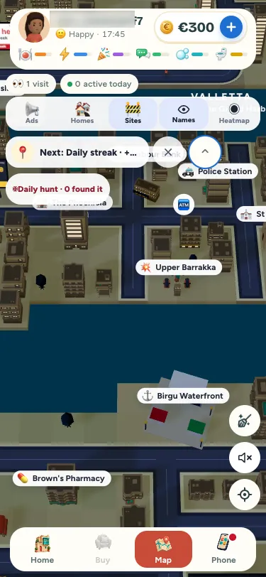
Paceville's neon comes up as the sky goes dark, whatever the month, and the shadows follow the sun across the sky.
The times come from the same table the game already used for its sunset moments, such as the sunset at Café del Mar and the solar panels that charge your car, so everything in the game agrees on when the sun is up. The real times come from timeanddate.com's table for Valletta, and the map is within a few minutes of it every day.
Three colours of sea
Anyone who has stood on the bastions knows the sea round Malta is not one blue. The map now has three, plus the shallows:
- Deep blue offshore, where the seabed drops away.
- Green-blue in the harbours: the Grand Harbour, Marsamxett with Msida Creek, and Marsaxlokk Bay.
- Turquoise over sand, at Golden Bay, Għadira, St George's Bay and Pretty Bay.
- A lighter blue in the shallows off rock, which is most of the coast.
Comino's lagoon keeps its own bright cyan.
Fields that follow the year
Malta is green in winter and brown in summer, the opposite of what many visitors expect. The rain comes from October to March and the fields grow with it. The map's fields now change through the year: green from November to April, gold at the harvest in May and June, bare red-brown soil through the dry summer, and freshly ploughed in October. Open country gets a green tinge in the wet months and turns to straw in the hot ones. Towns stay limestone all year.
The sky changes too: a paler, greyer blue in winter, when Malta has the most cloud, and a bright hazy blue in summer.
Smaller things you might notice
- No palms on the beaches. Malta's sandy bays are bare sand, so the map's are too. Palms stay where Malta has them: the promenades and the hotel gardens.
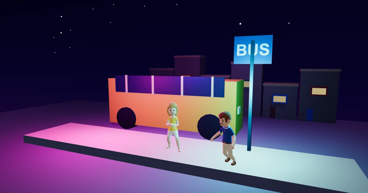
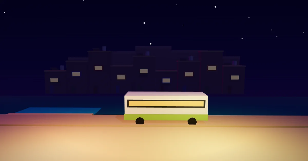
- The buses are white and lime green, as Malta's buses have been since 2015. The teal band on the game's buses was an older look. Taking the bus works exactly as before.
None of this downloads anything or slows the map down. It is colour on the shapes the map already had, so your phone draws exactly as much as before. Fares, prices and opening hours have not changed.
What comes next
This is the first drop of a bigger change to how Malta looks in the game. The towns are next: villages built from Maltese terraced houses with flat roofs, water tanks and solar heaters, with a domed parish church in each. Then the countryside, with rubble walls, terraced fields, carob, olive and prickly pear. Then the rock shore, Mdina on its hill, the Dingli cliffs, and the Grand Harbour's mouth with Valletta's bastions. Each comes one area at a time, starting with the villages.
If you'd like to see the island from higher up first, zoom out to the drone view, or read about the bigger map the island grew into. And when the winter storms come, the map shows them too: storm nights and floods.
Questions people ask
Why is the map dark so early in Malta Living?
Because it is dark early in Malta. The map's sun rises and sets at Malta's real times, by date, so in November and December it is dark before 17:00.
Does the sunset in Malta Living change during the year?
Yes, a little every day, as it does outside. Sunset is just before 17:00 in early December and after 20:00 in June, with summer time included.
Why are the fields green in winter?
In Malta the rain falls from October to March, so that is when the fields grow. In the dry summer they are harvested and the soil is bare, so the map's fields are green in winter and brown in summer.
Did anything else change, like fares or opening hours?
No. This change is only how the map looks: the light, the sea, the fields, the palms and the buses. Prices, fares and opening hours are the same.